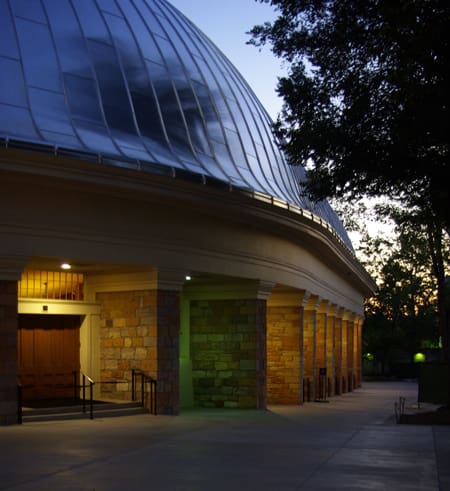
“Anderson Engineering’s property survey gave us clear boundaries before buying our home. Their thoroughness and clarity provided peace of mind, ensuring we knew exactly where our property ended.”
Carol Beck
Saratoga Springs, UT
“Thanks to Anderson Engineering, we found out the powerlines were outside of the easement. Their survey saved us from a major issue before starting our fence project. Highly recommend.”
Lynn A.
Saratoga Springs, UT
“Anderson Engineering conducted a precise survey before our house construction began. Their accuracy and detailed report ensured we started on solid ground, avoiding any setbacks. Excellent service from start to finish.”
Jeanne A.
Summit County, UT
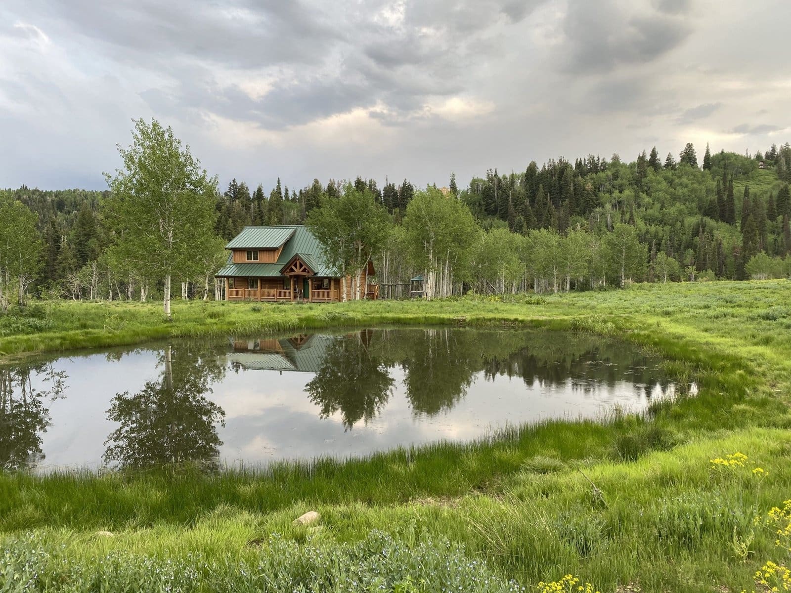
Protect Your Property and Investment from Unclear Boundaries
Avoid costly disputes, project delays, and neighborhood conflicts with a reliable property boundary survey.
Risk of Legal Disputes
Unverified boundaries increase the chance of legal challenges, leading to unexpected expenses and disruptions.
Delays in Project Execution
Boundary uncertainties can halt your development plans, causing frustrating and costly delays.
Strained Neighbor Relations
Avoid unnecessary conflicts with neighbors due to misunderstandings about property limits.
Expensive Construction Errors
Without a certified survey, you risk building on the wrong land, resulting in costly rework and potential fines.
Don’t let unclear boundaries jeopardize your investment. Anderson Engineering provides precise surveys, empowering you to move forward with confidence.
Certified Surveys That Protect Your Investment and Drive Your Project Forward
1
Verified Legal Boundaries for Dispute Prevention
Our certified surveys establish precise boundaries, minimizing the risk of costly legal conflicts and securing your property rights.
2
Efficient Project Start-Up
We deliver fast, accurate surveys, so you can kick off construction or improvements without unnecessary delays.
3
Neighbor Relations Safeguarded
A professionally mapped survey clarifies boundaries for all parties, ensuring harmonious relationships with adjacent property owners.
4
Protection Against Costly Rework
With clear, professional survey data, your project aligns with property lines from day one, protecting you from expensive corrections or fines.
Choose Utah’s Leading Surveyors for Precise Boundaries and Confident Ownership
Accurate Property and Boundary Surveys
Clear property boundaries for dispute-free projects across Northern Utah.
Certified Survey Documents
Legally recognized documents for compliance and future conflict protection.
Experienced Survey Team
Licensed surveyors ensuring accuracy and reliability across Northern Utah.
Quick Turnaround for Faster Construction
Quick results so you can start projects without delay.
State-of-the-Art Equipment
Advanced tools guarantee fast and precise surveys.
Local Knowledge and Relationships
Expertise in Northern Utah regulations ensures compliance in every survey.
Get Clear Answers to Your Property Needs with our Land Surveying FAQs
What is a property or boundary survey?
A boundary survey in Utah is essential for determining the exact limits of your property. With Utah’s diverse geography and rapid development, knowing your precise property lines is critical. These surveys are needed when building fences, settling disputes, or preparing for land purchases or subdivisions. Surveyors use historical records, legal documents, and GPS technology to map your property and create a legal description or plat map.
This is particularly important in areas like Utah County and Salt Lake County, where development often leads to boundary disputes.
How long does a land survey in Utah take?
In Utah, the time required to complete a land survey depends on several factors, including the size and complexity of the property, terrain, type of survey, and availability of records. On average:
– Small residential surveys (e.g., boundary surveys for a single lot) can take 1 to 2 weeks. – Larger or more complex surveys (e.g., surveys for commercial properties or those requiring topographic data) may take several weeks to complete.
Additional factors like weather conditions, legal research, or land disputes can extend the timeline. It’s best to consult with your surveyor for a more accurate estimate based on your specific project.
How much does a land survey cost?
The cost of a land survey in Utah depends on factors like the property size, terrain, and the type of survey. Residential boundary surveys typically range from $500 to $3,000. ALTA Surveys generally start around $2,000. Larger properties or specialized surveys, such as those required for commercial real estate transactions, may incur higher costs. In urban areas such as Salt Lake City, survey costs may be higher due to demand and complexity.
Costs may also increase if additional research is needed for older properties or areas with unclear boundaries, such as parts of Salt Lake County.
When is a land survey required?
Land surveys are often required during real estate transactions, before new construction, or when subdividing land in Utah. Local governments may also require surveys for permits, especially for new buildings or significant changes to a property. Surveys can also help resolve disputes with neighbors over boundaries or before building fences or other structures.
In fast-growing areas like Utah County, surveys are commonly required to ensure compliance with local zoning and building codes.
These localized answers can help ensure your website ranks well by providing detailed, Utah-specific information that addresses common concerns for property owners, developers, and contractors.
utah, surveying, topography, laser, construction, data, property, salt lake city, engineer, accuracy and precision, plat, easement, technology, lidar, subdivision, natural resource, elevation, construction surveying, real estate, deed, budget, research, information, civil engineer, reputation, knowledge, alta, software, measurement, terrain, laser scanning, american land title association, zoning, insurance, mortgage, ownership, fence, title, global positioning system, risk, title insurance, rights, refinancing, mobile app, infrastructure, tax, app, legal, investment, iron, description, data collection, metes and bounds, understanding, geographic information system, landmark, document, topographic map, satellite, flood, law, lawsuit, road, due diligence, tree, management, sidewalk, landscape, tape measure, fee, contract, title search, marketing, evidence, loan, drainage, 3d scanning, fork, attention, cost, nevada, land title surveys, project, solutions, land surveyors, boundary survey, alta surveys, land surveyor, land surveying services, surveys, engineering, land survey, land surveying, utah land surveyors, mining
Frequently Asked Questions
Can I get same-day land survey results in Utah?
Same-day land survey results in Utah are generally not feasible due to the complexity involved in conducting thorough surveys. Typically, surveys take one to two weeks for small residential properties, depending on various factors like terrain and required documentation.
Who is responsible for ensuring accurate property boundary surveys?
The responsibility for ensuring accurate property boundary surveys lies primarily with licensed land surveyors. They utilize professional training, legal documents, and advanced technology to conduct surveys that define property lines accurately.
What is the purpose of an accurate property boundary survey?
The purpose of an accurate property boundary survey is to clearly define property lines and boundaries, ensuring that homeowners, developers, and contractors understand their limits to avoid disputes, costly errors, and project delays.
What are the consequences of inaccurate property boundary surveys?
The consequences of inaccurate property boundary surveys can be significant, leading to legal disputes, costly construction errors, and potential fines. Such inaccuracies may also create conflicts with neighbors and hinder property development or improvements.
Are Utah land surveying companies licensed?
Utah land surveying companies are required to be licensed. This ensures they meet specific professional standards and are qualified to conduct accurate and reliable surveys necessary for property transactions and construction projects.
How long does land surveying take in Utah?
The duration of land surveying in Utah varies based on property size and complexity. Typically, small residential surveys take 1 to 2 weeks, while larger or more intricate projects may require several weeks for completion.
What are the benefits of fast land survey results?
The benefits of fast land survey results include quicker project initiation, reduced delays in construction, and the ability to promptly address any potential boundary issues, ultimately saving time and money for property owners and developers.
How much do fast land survey results cost?
The cost of fast land survey results varies based on factors like property size and complexity. Typically, expedited surveys may range from $500 to $2,500, depending on the specific requirements of the project.
How accurate are fast land survey results?
Fast land survey results can be highly accurate when conducted by experienced professionals using advanced technology. However, accuracy depends on factors like the survey type, property complexity, and available records, which can influence the final measurements.
How much do Utah land surveying services cost?
The cost of Utah land surveying services varies based on property size, terrain, and the type of survey required. Generally, small residential surveys can range from a few hundred to over a thousand dollars, while larger or more complex projects may cost significantly more.
Are all property boundary surveys created equal in terms of accuracy?
Not all property boundary surveys are created equal in terms of accuracy. The precision of a survey depends on the surveyor's expertise, the tools used, and the methods employed, which can significantly impact the reliability of the property boundaries established.
Can I request rush land survey services in Utah?
Rush land survey services can be requested in Utah. Our team is equipped to expedite your survey needs, ensuring accurate results within a shortened timeframe. Please contact us to discuss your specific requirements and timelines.
Who provides Utah land surveying services near me?
Providers of Utah land surveying services near you include licensed firms like Anderson Engineering, which offers comprehensive boundary and topographic surveys throughout the state, ensuring precise and reliable surveying solutions tailored to your needs.
What is the process of land surveying in Utah?
The process of land surveying in Utah involves several key steps. Surveyors analyze historical records and legal documents, utilize GPS technology, and assess the property’s physical terrain to accurately map boundaries and create legal descriptions, ensuring precise property delineation.
Can property disputes be resolved with accurate boundary surveys?
Accurate boundary surveys can effectively resolve property disputes. By providing clear and certified documentation of property lines and easements, these surveys clarify ownership and help prevent conflicts among neighbors or claims on land.
Do fast results affect survey accuracy in Utah?
Fast results do not compromise survey accuracy in Utah. Our experienced surveyors utilize advanced technology and thorough methodologies to ensure precise measurements, regardless of project timelines. Prioritizing speed and precision, we deliver reliable surveys efficiently.
What factors affect the accuracy of property boundary surveys?
The accuracy of property boundary surveys is influenced by several factors, including the quality of historical records, the skill and experience of the surveyor, the type of survey equipment used, and the terrain's complexity.
Can GPS technology improve property boundary survey accuracy?
GPS technology can significantly improve property boundary survey accuracy. By utilizing precise satellite positioning, surveyors can achieve high levels of detail and eliminate human errors, ensuring clear and reliable boundary demarcations.
What causes delays in land survey results?
Delays in land survey results can be caused by various factors, including complex property boundaries, adverse weather conditions, legal disputes, and the time required for thorough research of historical records. These elements can prolong the survey process significantly.
What are the benefits of hiring a Utah land surveyor?
The benefits of hiring a Utah land surveyor include obtaining precise property boundaries, ensuring compliance with local regulations, and preventing costly disputes or construction errors. Their expertise provides peace of mind for property transactions and development projects.
What is the importance of boundary surveying in Utah?
The importance of boundary surveying in Utah lies in its role in accurately defining property lines, preventing disputes, ensuring compliance with local regulations, and safeguarding investments during real estate transactions and construction projects.
Who provides fast land survey results in Utah?
Fast land survey results in Utah are provided by reputable companies like Anderson Engineering, known for their efficient service and accurate surveys across various counties, ensuring timely project start-ups for construction and land development.
What technologies expedite land survey results?
Technologies that expedite land survey results include GPS systems, drones, and specialized software for data processing. These advancements enhance accuracy, speed data collection, and streamline analysis, significantly reducing the time required to complete surveys.
How can property owners verify survey accuracy?
Property owners can verify survey accuracy by comparing the survey results with historical records, property deeds, and geographical landmarks. Additionally, hiring certified professionals can ensure the reliability of the results through adherence to industry standards.
What qualifications should Utah surveyors possess?
The qualifications that Utah surveyors should possess include a valid state license, a degree in land surveying or a related field, and substantial experience in the industry. Additionally, they must be knowledgeable about local regulations and surveying technology.
Where can I find reliable survey services?
Reliable survey services can be found through professional engineering firms, local land surveyors, or online directories that list licensed surveyors in your area, such as Anderson Engineering, serving Northern Utah, including Weber, Davis, Salt Lake, and Wasatch Counties.
How often should land surveys be updated?
Land surveys should be updated whenever there are significant changes to the property, such as new construction, landscaping alterations, or boundary disputes. Regular updates every few years can also be beneficial for maintaining accurate property information.
What methods ensure quick boundary surveys?
The methods that ensure quick boundary surveys include utilizing advanced GPS technology, efficient pre-survey planning, and leveraging historical records. These approaches streamline the surveying process, minimizing delays, and ensuring accurate results in a timely manner.
How does local geography affect survey accuracy?
Local geography significantly influences survey accuracy. Factors like terrain contours, vegetation, and proximity to natural features can complicate measurements and require specialized techniques to ensure precision in mapping property boundaries and elevations.
What are common challenges in land surveying?
Common challenges in land surveying include dealing with inconsistent property records, varying terrain, environmental obstacles, and potential disputes with neighboring landowners, all of which can complicate measurements and extend project timelines.
boundary surveyor near me, construction survey, alta survey salt lake city ut, alta survey utah, how much does an environmental survey cost, land surveying, land surveyors salt lake city ut, topographic survey near me, construction surveying near me, land survey errors, salt lake city utah land surveyors, topographical survey near me, construction survey cost, land surveyor utah, local land survey, land survey company, land surveyor, property survey perry utah, property survey utah