

Commercial development in Utah has never been more competitive, and the difference between a smooth project and a costly one often comes down to what happens before anyone starts digging. That’s where civil site optimization matters. It’s not just about making a plan look clean on paper. It’s about shaping a site so it uses land efficiently, handles water correctly, avoids utility conflicts, and moves through review with fewer surprises.
For Utah commercial developers, this is especially important because land access is tighter, site conditions vary sharply, and local approval processes can be unforgiving when a plan misses something important. A grading issue, a stormwater shortfall, or a buried utility conflict can ripple through the entire schedule. Strong civil planning helps prevent that. It creates a better site, a safer process, and a more defensible budget.
This guide breaks down how civil site optimization works, why it’s so critical in Utah, and how a multidisciplinary partner like Anderson Psomas helps developers turn complicated ground conditions into practical, buildable commercial sites.
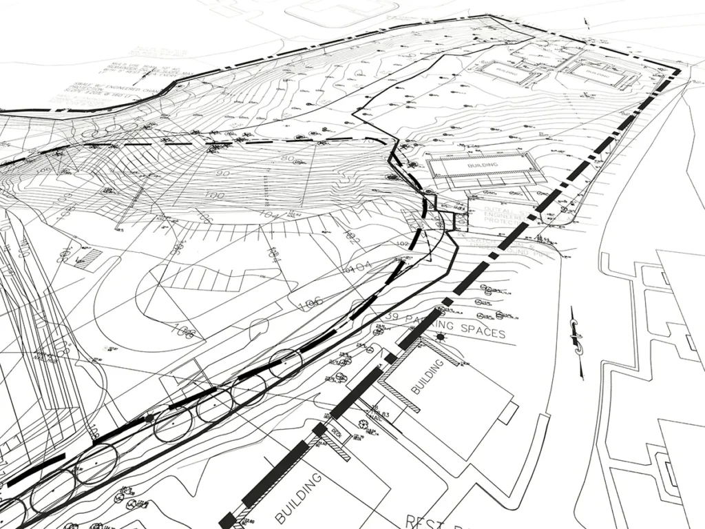
Utah commercial sites don’t usually give developers much room for error. Between changing topography, regional soil variation, stormwater demands, and municipal review requirements, even a simple-looking parcel can turn into a technical puzzle. Civil site optimization is the process of solving that puzzle early, before design decisions become expensive field changes.
At its core, the goal is to make every part of the site work together. Grading affects drainage. Drainage affects detention sizing. Utilities affect building placement. Building placement affects parking, access, and usable square footage. When these pieces are coordinated early, the entire project becomes more efficient.
A strong civil plan also supports better financial performance. The more usable land you preserve, the fewer avoidable earthwork moves you make, and the less likely you are to run into late-stage redesigns. That’s why developers working with a qualified land surveying and civil engineering firm often get a more reliable foundation for the rest of the project.
When a Civil Site Plan is Only “Good Enough”
A site plan can look acceptable at first glance and still hide major problems. That’s especially true when grading, utilities, and stormwater are each designed in isolation. A pad elevation that feels reasonable may trigger excessive cut and fill. A parking layout that seems efficient may make utility routing awkward. A detention concept that fits the landscape may consume too much valuable frontage.
Those issues don’t always show up immediately. They often emerge during municipal development approvals, geotechnical review, or utility coordination. By then, the fix can be much harder and more expensive.
That’s why commercial site feasibility should start with technical coordination, not just zoning confirmation. The most successful projects usually begin with questions like:
- How much site disturbance is actually necessary?
- Where can the building fit with the least grading penalty?
- Which utility conflicts are likely before field work begins?
- What stormwater strategy protects the layout instead of dictating it?
When those questions are answered early, the design process becomes more strategic and less reactive.
Why Utah’s Terrain Makes Civil Site Optimization Non-Negotiable

Across the Wasatch Front, no two parcels behave quite the same. Flat valley sites can still hide deep utility constraints or drainage challenges. Sloped sites may offer excellent visibility and access but require careful balancing to avoid expensive retaining systems. Infill parcels often come with limited room for detention, staging, or off-site utility reroutes.
That’s why experienced Wasatch Front civil engineers tend to approach each site as a unique system rather than a standard template. They’re not just drawing lines; they’re looking for the right balance between physical constraints and project goals.
Utah’s growth corridors also place a premium on speed. Developers want to move quickly, but city review, drainage requirements, and utility coordination can’t be rushed. Civil site optimization helps bridge that gap by reducing friction before it hits the schedule.
Smart Grading Design Can Save Land, Money, and Time
Grading is one of the most powerful tools in commercial site design, and it’s often the first place where optimization either succeeds or falls short. Good grading isn’t just about making the site buildable. It’s about aligning the site’s final shape with the natural terrain, the proposed uses, and the project’s financial targets.
When grading is done well, the site works with the land instead of against it. That usually means less hauling, less imported fill, fewer structural walls, and a cleaner path to permit-ready documents.
Balancing Cut and Fill Without Losing Site Efficiency
One of the most important early decisions is how to balance cut and fill earthwork. If the design requires too much cut, you may need to haul material off-site. If it requires too much fill, you may need to import thousands of cubic yards of material. Either option can inflate costs quickly.
The best civil designs try to find the sweet spot where earthwork is close to balanced while still meeting drainage, accessibility, and building elevation needs. That balance doesn’t happen by guesswork. It usually depends on early 3D surface modeling, accurate topographic data, and close coordination with geotechnical recommendations.
For many developers, this is where civil site optimization proves its value. A slightly adjusted pad elevation or parking slope can make a major difference in the volume of dirt that needs to be moved. On large commercial sites, this can translate into meaningful savings and fewer logistical headaches.

The analysis should also account for:
- Soil shrink and swell behavior
- Compaction requirements
- Export and import limitations
- Potential retaining wall lengths
- ADA and circulation constraints
- Drainage flow directions after final grading
When those variables are considered together, the grading plan becomes more than a sketch. It becomes a financial and operational tool.
Following Topography Instead of Fighting It
One of the smartest ways to reduce grading expenses is to respect existing topography whenever possible. Building pads, drive aisles, and parking fields can often be shaped to follow natural contours instead of forcing the whole parcel into a uniform plane.
This matters even more on sites with elevation changes. Along the benches and sloping parcels in Utah, trying to flatten everything can trigger structural walls, steeper drive slopes, and more complex stormwater routing. By contrast, a design that works with the land can preserve usable acreage and reduce visual and structural impacts.
For developers, this often means making a few strategic tradeoffs. A slightly adjusted building position or parking geometry may create better earthwork balance and improve long-term site performance. A skilled civil team can help identify where those tradeoffs make sense and where they don’t.
How to Build a Better Grading Plan Design in Civil Site Optimization
A high-performing grading plan design does more than meet minimum criteria. It anticipates how the site will function during construction and after occupancy. That includes vehicle movement, drainage patterns, utility access, snow storage, and long-term maintenance.
In practice, a strong grading plan should:
- Match realistic construction methods
- Preserve access for service vehicles
- Support drainage without creating nuisance ponding
- Reduce retaining wall demand where possible
- Coordinate with utility elevations and trench depths
- Leave room for future expansion when feasible
This is one reason commercial developers benefit from working with a firm that combines surveying and civil design. Accurate site data leads to better modeling, and better modeling leads to better decisions before the project is locked into a costly layout.
Stormwater Strategy Shapes the Site as Much as the Building Footprint
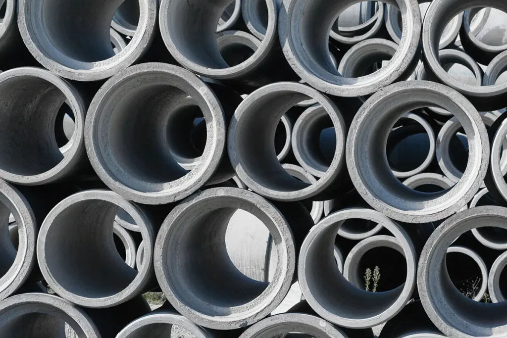
Stormwater isn’t an afterthought in Utah commercial development. It can determine where buildings go, how much parking you can fit, and whether valuable frontage gets consumed by detention facilities. That’s why stormwater should be treated as a design driver, not a compliance checkbox.
The challenge is that municipalities are increasingly focused on runoff control, water quality, and post-construction performance. A site that doesn’t account for those expectations early may need major revisions later, even if the rest of the design is solid.
Why Traditional Retention Ponds Often Waste Prime Land
On many commercial properties, conventional open detention basins take up significant surface area that could otherwise support parking, circulation, or revenue-generating space. In tight urban or suburban sites, that tradeoff can be hard to justify.
That’s why modern civil teams often evaluate retention basin alternatives that preserve more usable land. Depending on the site and the municipality, those alternatives may include:
- Bioretention areas
- Bioswales
- Permeable paving systems
- Underground detention chambers
- Concrete vault systems
- Landscape-integrated drainage features
These solutions can improve site efficiency, but they also require careful design. Each option has performance limits, maintenance considerations, and local approval implications. A good stormwater strategy doesn’t just hide detention; it makes detention work as part of the site.
For commercial developers, this is a key point in civil site optimization. Stormwater design shouldn’t only satisfy the code. It should support the business plan.
What Utah Commercial Properties Need to Think About
Stormwater design in Utah isn’t one-size-fits-all. Snowmelt, spring runoff, and intense summer storms can all affect how water moves across a site. In some places, infiltration may be possible. In others, soils, groundwater, or municipal restrictions may limit that approach.
That’s why Stormwater Management for commercial properties in Utah often requires a site-specific response. The system has to fit local conditions, municipal criteria, and the actual footprint of the development. It also needs to align with how the finished site will function in winter, during heavy rainfall, and over the long term.
A strong design approach should account for:
- Post-development runoff rates
- Drainage direction and collection points
- Water quality treatment requirements
- Snow storage impacts
- Maintenance access
- Compatibility with landscaping and hardscape
In some cases, underground detention is the right answer. In others, a distributed low-impact development approach works better. The right solution depends on the parcel, the municipality, and the project goals.
Municipal Expectations Can Change the Entire Layout
Many developers are surprised by how strongly stormwater can shape the final site plan. A detention basin placed too late in the process can force changes to parking count, circulation, or even building location. That’s why stormwater modeling should begin early, not after the rest of the design is already settled.
When civil engineers integrate stormwater into early site planning, they can often protect more of the buildable area. They can also reduce redesign risk during municipal development approvals, which helps keep the process moving.
That’s especially important for projects in dense commercial corridors where every square foot matters. If stormwater is an afterthought, it becomes a constraint. If it’s addressed early, it becomes part of the optimization strategy.
Utility Coordination Is Where Many Projects Lose Momentum
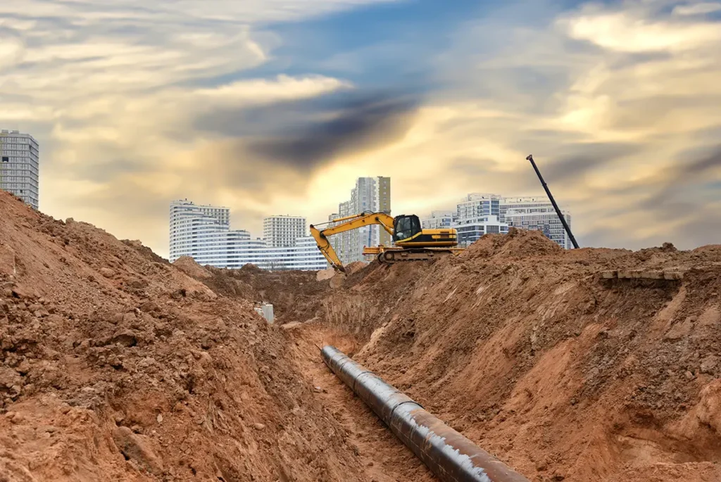
Utilities are one of the most common sources of avoidable delay on commercial projects. Water, sewer, power, gas, telecom, and fiber all need space, clearances, and predictable routing. If any of those systems conflict with the proposed design, the result can be a redesign, a field change, or a drawn-out approval cycle.
That’s why utility planning belongs early in the civil process. The earlier you identify conflicts, the more options you have to solve them efficiently.
Why Early Surveying and Potholing Matter
Comprehensive utility potholing and high-precision surveying can reveal issues that aren’t obvious from record drawings alone. Old mains, undocumented easements, mismarked lines, or shallow conflicts can all create serious complications once construction begins.
By gathering accurate field data early, the design team can create utility layouts that reflect reality instead of assumptions. That matters for both one-product use and combined-product use on commercial sites. A single utility adjustment might seem small, but when it affects grading, paving, drainage, or building placement, the downstream impact can be much larger.
The strongest utility plans usually start with:
- Topographic and boundary surveys
- Record drawing review
- Utility locates and potholing
- Coordination with city and district reviewers
- Early service sizing and routing review
- Clear utility corridor planning
This approach reduces field surprises and helps make the final design more constructible.
Working With Utility Providers Before Submittal Saves Rework
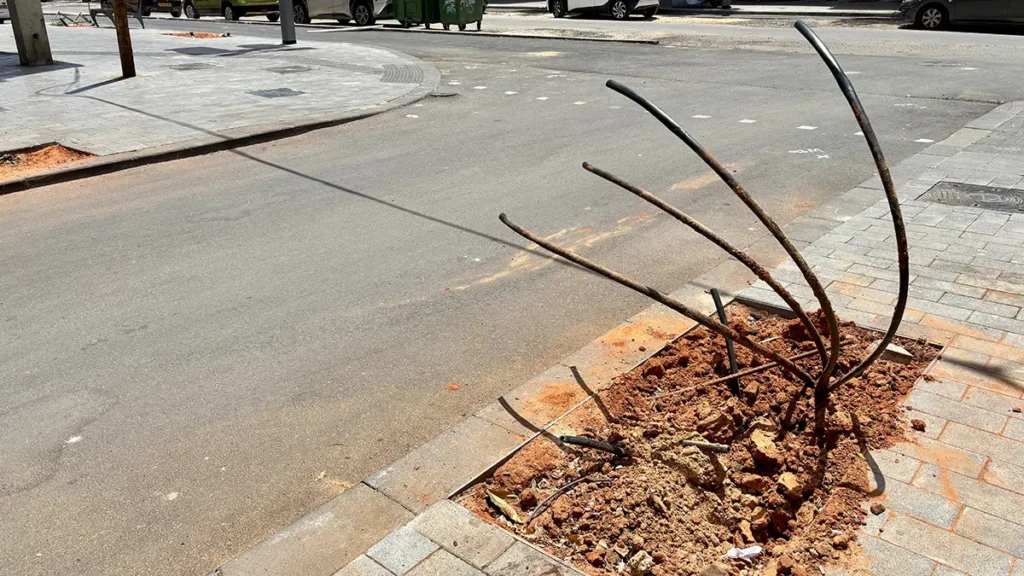
Another common mistake is waiting too long to engage utility providers. Companies such as Rocky Mountain Power or Dominion Energy may need to review service assumptions, easements, transformer locations, or clearance needs long before final design. If those conversations happen too late, the site plan may already be too committed to change easily.
For developers, this means utility coordination shouldn’t be treated as a final checkpoint. It should be part of the core design workflow. The more proactive the coordination, the less likely you are to discover a conflict during review or after permits are in motion.
That’s especially true in Utah, where municipal standards and district requirements can vary significantly from one jurisdiction to the next. A design that works in one city may need adjustment in another. Experienced commercial civil engineering Utah teams know how to build flexibility into the process so the plan meets local expectations from the start.
Future Access and Expansion Should Be Planned in the Utility Layout
Good utility design doesn’t only solve today’s needs. It also protects tomorrow’s flexibility. If a site may expand, change tenant use, or require future maintenance, utility corridors should leave room for that possibility.
A more thoughtful site layout can preserve access points, reduce future disruption, and minimize conflicts with landscaping or parking improvements. That’s one reason civil site optimization is so valuable for long-term property performance. It helps a project function well not just on opening day, but throughout its operating life.
How Anderson Psomas Brings Surveying, Civil Design, and Permitting Into One Workflow
Many project problems happen because surveying, engineering, and environmental review are handled in separate silos. Anderson Psomas takes a different approach. As a land surveying and civil engineering firm, the team combines accurate field data, civil design, and environmental awareness into a more coordinated process.
That matters because the biggest site risks usually sit at the intersection of disciplines. A grading issue can affect stormwater. A utility conflict can affect parking. A survey discrepancy can affect nearly every design layer. When those tasks are handled by separate groups with limited communication, the odds of late-stage friction go up.
Principal-Led Oversight Improves Quality Control

One of Anderson Psomas’ strengths is principal-led project oversight. That means experienced leaders are directly involved in the work, not just supervising from a distance. For commercial developers, that can translate into clearer communication, stronger technical judgment, and faster issue resolution.
On complicated Utah sites, that oversight matters. A small decision about pad elevation or detention placement can have major implications later. Having seasoned professionals engaged early helps the team catch those issues before they become problems in the review cycle.
Why a Technology-Driven Civil Team Changes the Outcome
A technology-forward process is only valuable if it improves decisions. At Anderson Psomas, the point isn’t just to use advanced tools. It’s to make better design choices.
That can include:
- More precise site elevations
- Better earthwork quantity estimates
- Clearer utility coordination
- Better stormwater modeling
- Stronger alignment between field conditions and plans
- Fewer costly conflicts during construction preparation
Anderson Psomas has completed more than 5,000 projects across civil, structural, environmental engineering, and land surveying, which gives the firm a practical understanding of how site decisions play out in real-world development. For clients, that experience helps turn a difficult parcel into a more manageable project.
What Commercial Developers Should Check Before They Commit to a Site
A good commercial site feasibility checklist doesn’t just ask whether the parcel is zoned correctly. It asks whether the land can realistically support the project without hidden cost escalations or design compromises. For Utah developers, that’s often the difference between a manageable site and a problem site.
Before committing, it’s worth reviewing:
- Boundary accuracy and survey control
- Existing utility conflicts and easements
- Preliminary grading feasibility
- Drainage and detention options
- Access and circulation constraints
- Municipal development approvals likely to affect the design
- Geotechnical limitations
- Snow storage and winter performance
- Potential expansion needs
- Off-site improvements that may be required
This checklist is especially useful when evaluating infill parcels, redevelopment opportunities, and sites with unusual geometry. The more constrained the parcel, the more important it becomes to test feasibility before the deal is locked in.
For many developers, this is where Anderson Psomas adds the most value. The firm’s integrated civil, environmental, and surveying capabilities help identify the real site constraints early, when there’s still time to adjust the strategy.
The Bottom-Line Value of Better Civil Site Optimization

At the end of the day, civil site optimization is about turning land into a stronger business asset. It’s not just a technical exercise, and it’s not something to leave until the rest of the design is nearly finished. It’s a strategic process that affects cost, schedule, compliance, and long-term site usability.
When grading is coordinated intelligently, when stormwater is designed to preserve usable area, and when utilities are planned with real-world conflicts in mind, commercial projects become more resilient. They’re easier to review, easier to build, and easier to operate.
That’s why developers who work with experienced Utah civil professionals tend to move with more confidence. Anderson Psomas brings the combination of surveying precision, civil engineering judgment, and permitting awareness needed to reduce friction before it reaches the job site. If you’re planning a commercial development and want to protect your layout, your budget, and your timeline, civil site optimization should be one of the first conversations you have.